
1 / 1
Listed by: David Treadwell | Brubaker Culton R.E. & Dev.
Sold Jul 13, 2021
$105,000
0 BLM-R22, Randsburg CA
2,047,320sq ft
$0.05/sq ft
43 days on rennie920 cumulative days on market
SW20257111MLS ®
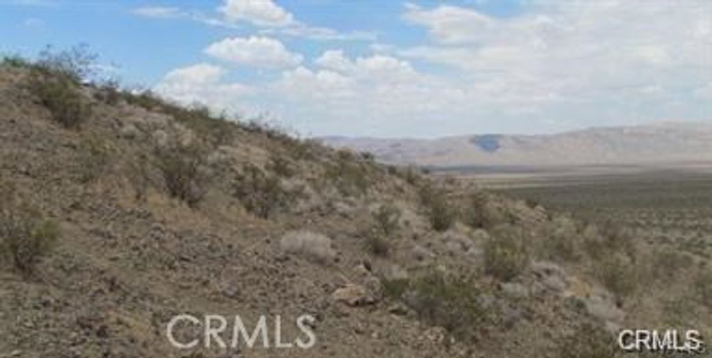
This 47 acres is for Patented Mining rights which are accompanied by the Deed, In order to be patented, significant mineral values were proven to exists. This property is located in the historic Randsburg Mining District, and Gold Crown Consolidated Lode Claim is located one mile south of the historic Yellow Aster mine in the same physical geographical formation. The property contains both placer and hardrock land: western 20+ acres combination of shale and quartz, the eastern 20+ placer. No current reports or assays, 28 mine shafts with a combination of poor man's mine shafts and vertical mine shafts, no water wells drilled and no mining equipment on the property. Latitude 35.340387 Longitude -117.648203
property details
LandProperty type | |||
2,047,320 ft²Lot area SF | |||
$0Taxes | |||
Desert, Mountain(s)Views | |||
| Listed by | Brubaker Culton R.E. & Dev. | ||
| rennie last checked | June 03, 2025 at 10:34am | ||
| Last updated | February 17, 2025 at 09:17am | ||
| Cumulative days on market | 920 days | ||
| Closed Date | July 13, 2021 | ||
| Source | CRMLS |